- 3:15 h
- 8.59 km
- 572 m
- 572 m
- 873 m
- 1,405 m
- 532 m
- Start: Luthern Bad
- Destination: Luthern Bad
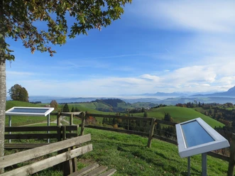
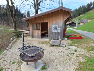
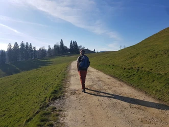
Start in Luthern Bad and follow the hiking trail on the left bank of the Luther to the Mittler-Ey farm. The path then steeply continues through a short forest section up the ridge of the hill to Alp Trachselegg. The first beautiful view opens up before you. Afterwards, it continues over the meadow uphill towards the mountain forest in the direction of Napf. The last part leads through the forest where you finally reach the summit with the mountain hotel and the wonderful panoramic view. For the return path from Napf to Luthern Bad, follow the route towards Niederänzi. First down the meadow, then through the mountain forest. At the first large clearing, you must turn right at the Bernese hiking trail sign. After a longer forest section, you reach Alp Niederänzi. Here, just before the farm, the path descends to the right along the meadow at the forest edge. Later, the path alternates between forest and meadows with views into the valley. After a short, steep descent, you reach Luthern Bad.
Pavements
- Street (11%)Trail (88%)Path (1%)
Best to visit
- suitableDepends on weather
Tour information
Loop Road
Loop Road
Stop at an Inn
Summit
Author
Willisau Tourismus
Organization
Willisau Tourismus
License (master data)
Willisau Tourismus