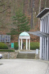
From Stecklenberg to Friedrichsbrunn

- 2:20 h
- 7.89 km
- 390 m
- 50 m
- 178 m
- 569 m
- 391 m
- Start: Church Stecklenberg, Wurmtal, 06502 Thale OT Stecklenberg
- Destination: Friedrichsbrunn
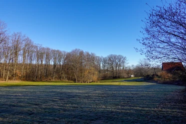
From Stecklenberg, this hike leads on gently ascending paths to the district Friedrichsbrunn, which is about 350 meters higher. In the process, you will also pass the historic Heerstraße, which once connected Quedlinburg and Nordhausen.
Good to know
Best to visit
suitable
Depends on weather
Tour information
Cultural Interesting
Author
Harzer Tourismusverband
Organization
Harz: Magische Gebirgswelt
License (master data)

Nearby