- Photos & Map
How would you like to arrive?
- Description
- Waypoints
- Good to know
- Nearby
- 3:40 h
- 14.88 km
- 59 m
- 80 m
- 140 m
- 175 m
- 35 m
- Start: Mühlplatz Rochlitz
- Destination: Sermuth near Colditz
Important note: This section of the Muldental hiking trail runs from the Rochlitz district Penna to the entrance of Colditz along a district road (approx. 7.5 km) and is therefore unsuitable and dangerous, especially for large hiking groups.
Points of interest
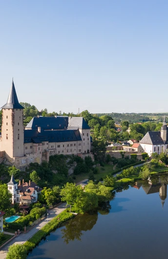
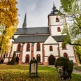
- Rochlitz: historic town center, Rochlitzer Berg with observation tower, Rochlitz Castle, St. Peter's Church, St. Kunigunde's Church, Tourist Information, outdoor pool, Mulde island with fitness trail
Colditz: Castle with escape museum, Dental History Museum Zschadrass
Sermuth: Confluence of the Zwickauer and Freiberger Mulde to form the Vereinigte Mulde
Connections
- In Rochlitz: Muldental hiking trail stage Penig-Rochlitz
- In Colditz/Sermuth: Muldental hiking trail along the Vereinigte Mulde towards Grimma
Waypoints
Start
Good to know
Pavements
Unknown
Street
Asphalt
Gravel
Trail
Path
Best to visit
suitable
Depends on weather
Tour information
Cultural Interesting
Stop at an Inn
Suitable for Pushchair
Author
Bastian Rakow
Organization
Tourismusverband Chemnitz Zwickau Region e. V.
License (master data)
Nearby
