- 1:15 h
- 5.79 km
- 72 m
- 71 m
- 781 m
- 853 m
- 72 m
- Start: Bayrischzell
- Destination: Bayrischzell
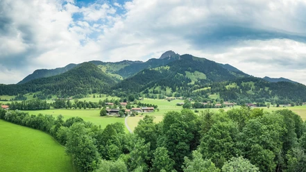
In the shadow of the Bayrischzell local mountains, this round trip leads through the Leitzach valley to Osterhofen and back. A detour to one of the numerous Kneipp basins rounds off the sports program nicely.
Best to visit
- suitableDepends on weather
Tour information
Familiy-Friendly
Loop Road
Loop Road
Stop at an Inn
Author
Regionalentwicklung Oberland
Organization
Alpenregion Tegernsee Schliersee
License (master data)