Raumbachtal cycle path


- 0:55 h
- 13.12 km
- 130 m
- 6 m
- 299 m
- 418 m
- 119 m
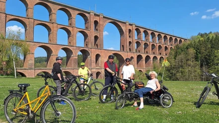
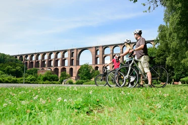
- Start: Göltzschtal bridge
- Destination: Mühlteich in Hauptmannsgrün
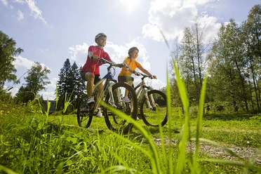
The cycle path runs idyllically along the Raumbach river meadow and is especially popular with families (despite its slight incline). Highlights on the Raumbachtal cycle path are the snack meadows in Heinsdorfergrund, where it is allowed to eat the fruit and berries. Kids can let off steam at the playgrounds in Ober- and Unterheinsdorf, which are located near the cycle path. Additionally, several rest areas and the Mühlteich grounds invite you to relax.
Waypoints
Start

Destination
Good to know
Best to visit
- suitableDepends on weather
Directions & Parking facilities
- Parking
There are various parking options along the route:
- Parking lot at the Göltzschtal bridge (for a fee)
- At the community center in Oberheinsdorf (free of charge)
- In front of the municipal administration in Oberheinsdorf (free of charge)
- Parking lot at Mühlteich in Hauptmannsgrün (for a fee)
Author
Saskia Prelec
Organization
Vogtland - Sinfonie der Natur
License (master data)
Saskia Prelec