Triebler circular route


- 9:36 h
- 36.40 km
- 479 m
- 479 m
- 383 m
- 621 m
- 238 m
- Start: Pirk
- Destination: Pirk
It is part of the extensive network of paths in Vogtland.
Waypoints
Start
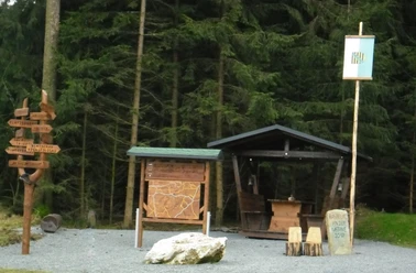
Destination
Good to know
Pavements
- Unknown (5%)Street (3%)Asphalt (10%)Gravel (44%)Trail (37%)
Best to visit
- suitableDepends on weather
Directions
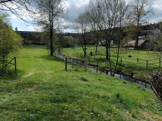
- From Pirk station it is 500 m to the start of the circular route. To do this, cross the federal road and then walk past the former inn Elsterperle up to the village of Türbel. Always follow the yellow trail marker, which leads you past the table tennis tables straight down into the Triebeltal valley.
Tour information
Loop Road
Stop at an Inn
Directions & Parking facilities
- Getting thereMotorway A 72 Hof-Chemnitz to the Pirk exit.ParkingAt Pirk stationPublic transportation
Take the Vogtlandbahn from Plauen/Zwickau to Pirk. Information on travel by bus and train is available from the Vogtland Tourism and Transport Center at 03744 19449 or www.vogtlandauskunft.de
Additional information
Author
Vogtland - Sinfonie der Natur
Organization
Vogtland - Sinfonie der Natur
License (master data)
Vogtland - Sinfonie der Natur

Nearby




Download GPX file