Around Auma


- 3:40 h
- 14.06 km
- 176 m
- 176 m
- 356 m
- 437 m
- 81 m
- Start: Post mile column at the market in Auma
- Destination: Post mile column at the market in Auma
The hiking trail leads, among other places, through the forest area east of Auma to the idyllic Doggenteich and west through the Untendorf swamp. The churches in Wöhlsdorf and Gütterlitz are worth seeing. In Gütterlitz and Auma, there are inns that pamper guests with typical Vogtland cuisine.
Waypoints
Start


Good to know
Pavements
Unknown (5%)
Street (16%)
Asphalt (25%)
Gravel (47%)
Trail (7%)
Path (1%)
Best to visit
suitable
Depends on weather
Directions
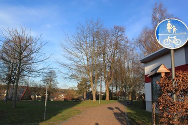
From the post mile column at the market, you walk past the church down to the small park at the parish pond. Here you keep right on Lindenweg and go straight under the disused railway line to Kesselsee. A path continues to a forest road, which you follow to the right, crossing a side road and going straight ahead in the forest until you reach the 'Schwarze Allee'. You continue left on this until a forest road branches off sharply to the right, which you follow. Via a side road, you reach Untendorf, then Gütterlitz with the worth-seeing baroque church. After crossing federal highway 2, you reach the river Auma and over the Läßigberg to Wiebelsdorf. Then it continues via the side roads to Wöhlsdorf and Piesignitz. At Doggenteich, you encounter the planet trail, on which you return to Auma.
Tour information
Loop Road
Author
Tourismus Marketing Gesellschaft Sachsen mbH
Bautzner Straße 45/47
01099 Dresden
Organization
Vogtland - Sinfonie der Natur
License (master data)
Vogtland - Sinfonie der Natur

Nearby


Download GPX file