Bike route "Around Plauen"


- 3:05 h
- 39.51 km
- 538 m
- 555 m
- 317 m
- 484 m
- 167 m
- Start: Plauen (Haselbrunn)
- Destination: Plauen (Haselbrunn)
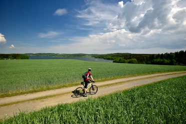
From the Upper Station in Plauen, the route leads to Neundorf, where numerous ponds invite you to rest. It then continues via Straßberg, past Kürbitz (worth a detour!), over Meßbach and Unter-/Oberlosa to the "Kemmler" lookout tower. From Kleinfriesen, it continues to Chrieschwitz, and towards Möschwitz, where a detour to the Pöhl reservoir is recommended.
Via Reißig and Haselbrunn, the route returns to the starting point.
Waypoints


Good to know
Pavements
- Unknown (92%)Street (2%)Asphalt (5%)Gravel (1%)
Best to visit
- suitableDepends on weather
Directions
Please note: the route is not uniformly marked.
The route runs on the existing bike path network of the city of Plauen as well as partly on the Elster bike path and the long-distance bike path Euregio Egrensis.
It is recommended to use the navigation function of the Vogtland app.
Tour information
Loop Road
Stop at an Inn
Directions & Parking facilities
- Getting there
A9 exit Schleiz, B 282 towards Plauen
A 72 exit Plauen - East
Parkingfree parking at the starting point (Vogtlandstadion Haselbrunn)Public transportationInfo at www.vogtlandauskunft.de or phone 03744 19449 Author
Saskia Prelec
Organization
Vogtland - Sinfonie der Natur
License (master data)
Saskia Prelec

Nearby




Download GPX file