Circular hike Dröda reservoir


- 4:19 h
- 15.71 km
- 311 m
- 311 m
- 393 m
- 533 m
- 140 m
- Start: Pension Anders
- Destination: Pension Anders
On the section from Bobenneukirchen via Engelhardtsgrün and the Ramoldsreuth forebay to the A 72 motorway, use the Erzgebirge-Vogtland ridgeway. From there it goes back to Großzöbern via Berglas.
Waypoints
Start
Good to know
Pavements
- Street (11%)Asphalt (18%)Gravel (28%)Trail (43%)
Best to visit
- suitableDepends on weather
Directions
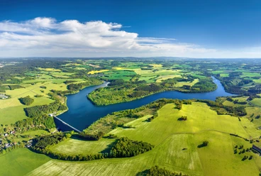
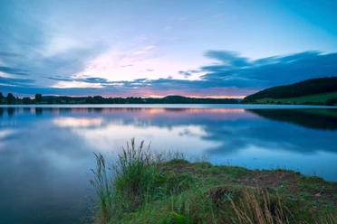
- From the farm shop, follow the main road about 100 m towards the farm and then turn left. The hiking trail leads along the pasture down into the forest area at the reservoir. Before the village of Dröda, keep to the right to continue hiking along the shore.
Tour information
Loop Road
Equipment
- Sturdy footwear recommended.
Additional information
Author
Tourismus Marketing Gesellschaft Sachsen mbH
Bautzner Straße 45/4701099 DresdenOrganization
Vogtland - Sinfonie der Natur
License (master data)
Vogtland - Sinfonie der Natur

Author´s Tip / Recommendation of the author
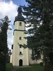
- In Bobenneukirchen there is an idyllic hiking rest area directly at the forebay as well as a noteworthy church (Cultural Route of the Vögte).
Safety guidelines
- The dam of the reservoir is not accessible on foot, so we recommend this route guidance.
Nearby


Download GPX file