Saarland Cycle Route "Stage 2: From Blieskastel to St. Wendel"


- 3:25 h
- 44.97 km
- 519 m
- 450 m
- 216 m
- 516 m
- 300 m
- Start: Paradeplatz Blieskastel
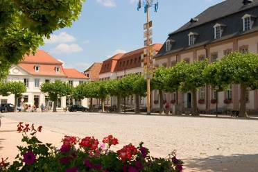
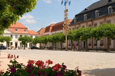
- Destination: Old Town St. Wendel
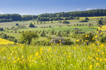
You cycle here mostly on a quiet bike path without any motor traffic and enjoy the river idyll.
At Schwarzenacker, a longer break is recommended. In the Roman Museum, you learn a lot about the history of the region where the Romans once lived, in a very vivid way.
Through the Jägersburg Forest, you now cycle northwest and reach the castle pond, where you can relax and recharge at one of the food establishments. Take a little rest here because a small challenge awaits you afterward. The route now leads to the Höcherberg, which at 517 meters is the highest elevation in the Saarpfalz. When you reach the top, you’ve earned a break at the restaurant waiting for you at the summit.
Afterwards, you can look forward to a great descent that rapidly brings you closer to the stage destination. For this, you briefly leave the official route of the Saarland Cycle Route at the end (near Werschweiler). Because it is hard to find accommodation in this wonderfully quiet area, we included a detour to St. Wendel in the route. St. Wendel is worth a visit anyway, and here you will find plenty of accommodations, including a Bett+Bike hotel located very close to the sights of the castle square. From the station in St. Wendel, regional trains run that can quickly take you, without changing trains, for example to Saarbrücken.
Good to know
Best to visit
Tour information
Cultural Interesting
Author
Frank Polotzek
Organization
Saarland
License (master data)

Nearby