Via Hohen Stein/Vysoky Kamen and Kegelberg


- 3:47 h
- 13.38 km
- 281 m
- 281 m
- 528 m
- 760 m
- 232 m
- Start: Parking lot Open-air museum Eubabrunn
- Destination: Parking lot Open-air museum Eubabrunn
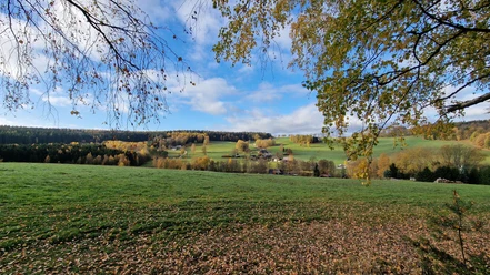
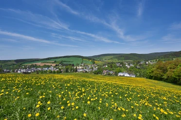
approx. 12 km circular hiking route mostly over natural forest and meadow paths
estimated walking time approx. 3 h
Waypoints
Good to know
Pavements
- Unknown (32%)Street (4%)Asphalt (8%)Gravel (26%)Trail (28%)Path (3%)
Best to visit
- suitableDepends on weather
Directions
- Parking lot Open-air museum Eubabrunn - Lohe Hütt'n - border crossing (unmarked from here) - Hoher Stein/Vysoky Kamen - main path straight north to the signpost "Kegelberg ski area" - border crossing - mountain hut ski area - slope downhill - Försterweg - Tockemgrüner Weg - bungalow village - Eubabrunn parking lot
Tour information
Loop Road
Summit
Directions & Parking facilities
- Getting thereFrom Plauen take the B 92 to Adorf, then turn left onto the B 283 and continue to Markneukirchen. From here, the open-air museum Eubabrunn is signposted.ParkingOpen-air museum EubabrunnPublic transportation
Information about arriving by bus and train is available at the Erlbach Tourist Information or at the Vogtland Tourism and Transport Center at www.vogtlandauskunft.de or by phone at 03744 19449
Additional information
Tourist Information Erlbach Tel.: 037422 6225
Places to eat
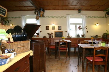
"Grünes Tal" Eubabrunn Tel.: 037422 6537 (closed Mon & Tue)
"Einkehrschwung" at the ski area
Erlbacher Brauhaus Tel.: 037422 6384
For information on opening days of the ski hut and Lohe Hütt'n call 037422 6225
Links
Author
Tourismus Marketing Gesellschaft Sachsen mbH
Bautzner Straße 45/4701099 DresdenOrganization
Vogtland - Sinfonie der Natur
License (master data)
Vogtland - Sinfonie der Natur

Author´s Tip / Recommendation of the author
- Open-air museum Eubabrunn, Lohe Hütt'n, Kegelberg ski hut, adventure playground
Nearby




Download GPX file